- Height –
- Carn Dearg – 945 M
- Carn Sgùlain – 920 M
- A’Chailleach – 930 M
- My Time – 12 hours
- Distance – 28.16 Km
- Season completed – Summer
- Difficulty – 4 / 10
- Weather – Starting with clouds near the summit, quickly lifting. Dry until the very end of the day.
- Just want to see the photos to get a feel for the hike – click here
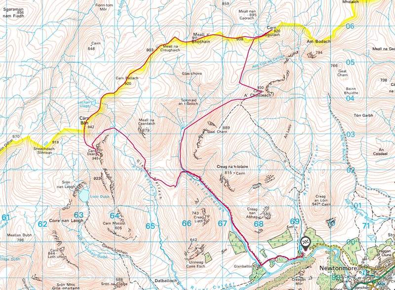
- Route Map
Cycle
This is a route that I put together myself looking at a map of the area. If you were to walk it then you probably wouldn’t take this route, so unless you do plan on cycling then you may wish to look elsewhere for route details (but this post will certainly show you what the terrain/ground/conditions are like overall).
If you do plan to walk it – the reconsider! This is a great wee trail that includes a reasonable start/end that can be done with a bike.
Looking for more cycling routes – then look here -> cycling list Around 25 different routes that would benefit from taking a bike.
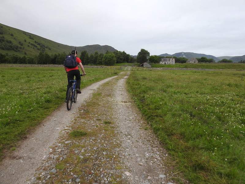
Starting
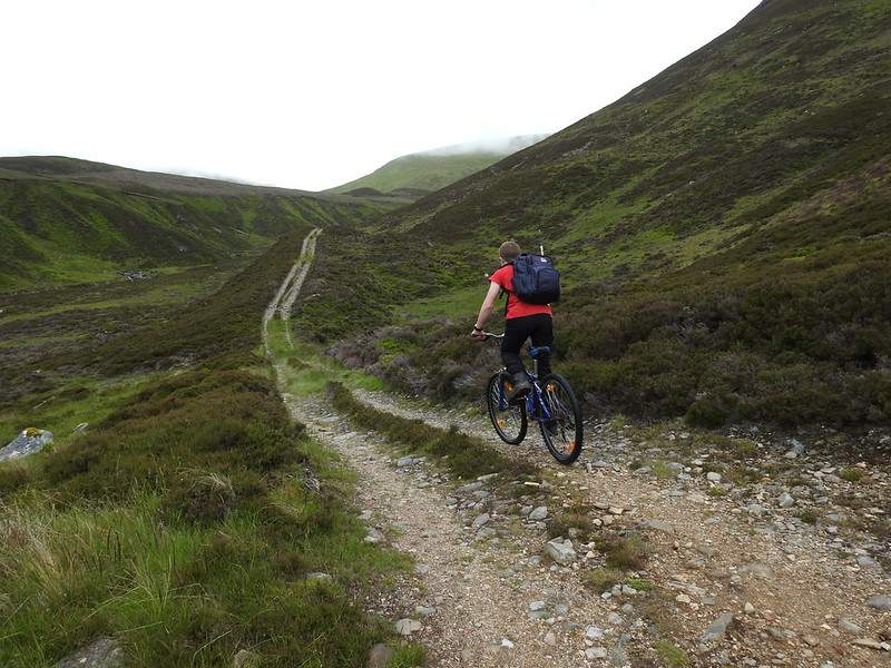
The initial section will cover not far off 6 Km, (so close to 12 Km of cycling all in) and it will go from around 300 m to around 500 m in height. That gain is for the most part gradual, so you’ll not notice too much. The track can be a bit rough and there was a couple of steep parts that I had to walk with the bike, but only for a small portion of it.
Just be careful on the way back. Don’t want to be be going too fast then hit a largish stone on the down.
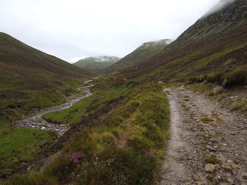
The Split
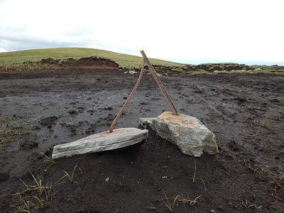
For our loop, I choose to do it anti-clockwise. Once you do reach the split, find somewhere (a ditch or similar) to place your bike and record its GPS location. This area is a little bland, lots of rolling heather mainly, so you could easily misplace your bike if hidden/out of sight in a ditch.
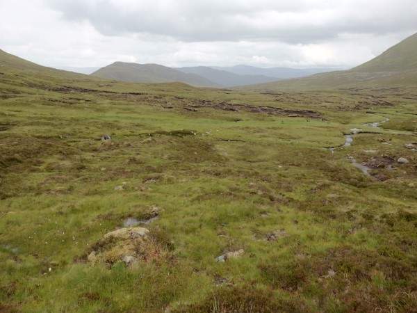
Stay on the same side of the river that you are on currently, so there is no need to cross yet. As you walk along with the water on your left the ground is pathless, and grassy which makes OK walking conditions. Small sections can be boggy, but they can easily be avoided. Carry on following the stream until it starts to split and come from various sources.
Now you can slowly head in a diagonal upwards manner. The ground and the slopes are of the rolling ‘smooth’ type. Grassy, lots of bog cotton and it’s not scoured with eroded peat banks. Certainly an easy going uphill walk which will take you to the first summit.
A’ Chailleach
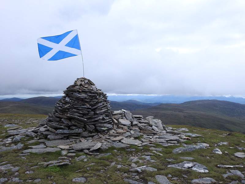
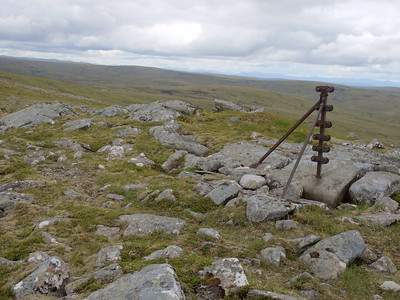
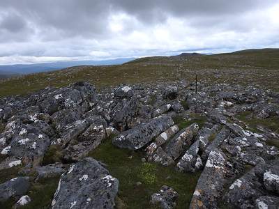
The first summit is at 930 m and has a nice big cairn on it. The views are good, but nothing spectacular. Lots of rolling hills.
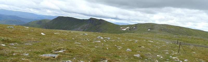
Now that you’re at summit number 1, you can look north and see Carn Sgùlain. In order to get there you can’t (well you can) head straight for it. If you did then you’d have to drop down and then back up a reasonably steep grass slope.
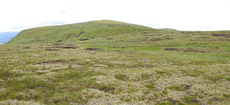
This is the view looking back to A’ Chailleach. As you can see the ground will pose no issue in traversing other than distance. You can make out the dip reasonably well here as well, which is why on the was to Carn Sgùlain you need to head in a north westerly direction until after the dip.
Carn Sgùlain
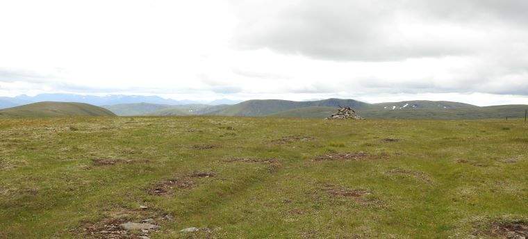
Carn Sgùlain is on the scale of munros a dull summit! It’s flat, grassy (again) and the view is even less dramatic than A’ Chailleach. It’s not bad, but if you’re looking for something to show the scale and the height you’re at – this hill will not give you that.
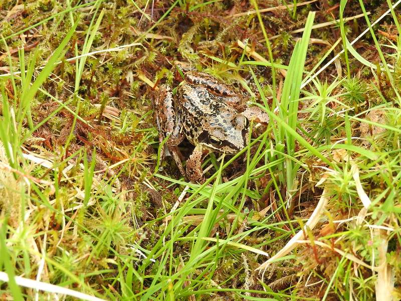
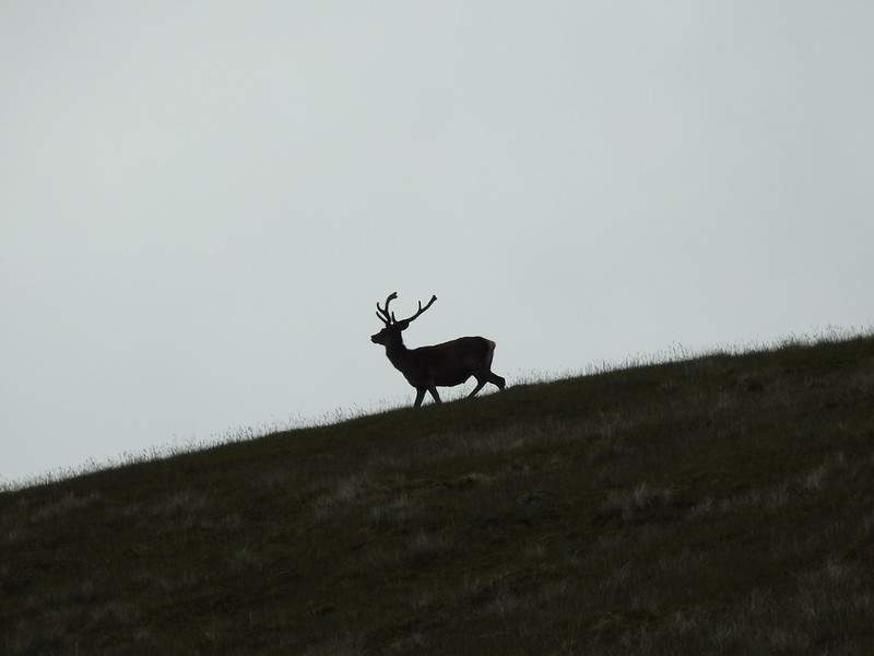
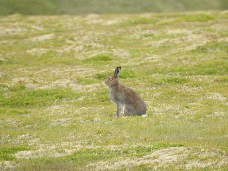
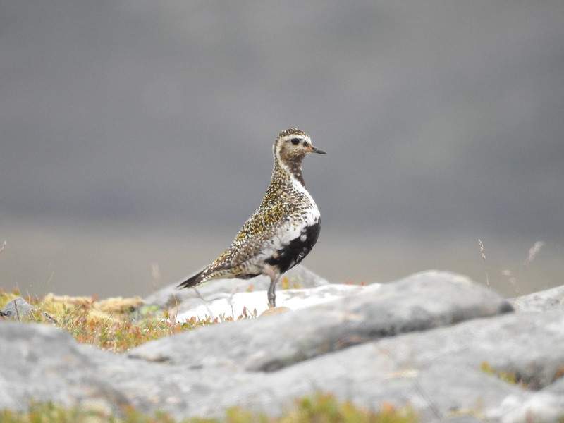
On the plus side, I did see a fair range of wildlife. I spotted a male and female Golden Plover, some deer and mountain hares.
Next up and saving the best till last is Carn Dearg.
The trek from Carn Sgùlain to Carn Dearg is as simple as you can get. You start at 920 m and go up to 945 m and along the way the lowest point is around 845 m. It does make for a pleasant walk. Hiking over approximately 8 Km on reasonable flat ground, consistently at munro height levels – can’t complain.
You will find that in places it can be very muddy. Short sections where the top ground is nothing but a peaty bog. Then you get small sections of boulders, but on the whole it’s a smooth trek.
Carn Dearg
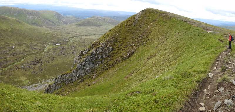
Carn Dearg is certainly the best summit off all three, you can see it’s ruggedness and cliffs from afar and it stands out in comparison to the other more rounded mounds. The approach is very much the same terrain as the rest of the walk, except that on portions of Carn Dearg, as it’s much narrower then there is a clearly defined path due to footfall. As seen below you get nice and close to the edge, where you some great views, plus you can look and see where you’ll be trekking back.
Back to the start
Once you’ve completed the last summit, back track a small bit. Then you head down. It’s up to you how steep you wish your descent to be (within reason). Off course you can head straight down or follow the curve of the hill to decrease your descent slightly. Doing so makes it a little bit nicer on your knee joints!
The ground here is a bit uneven, slightly scored and more than a little boggy in places. Most boggy portions can be avoided as can most of the eroded ground.
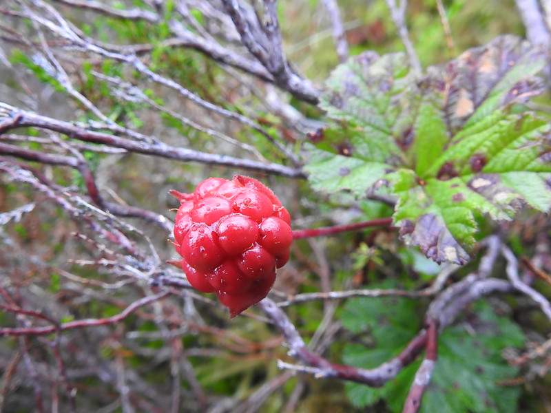
I’d love to come back to this area a month of so later on in the year, as I seen loads of unripe cloudberries! Who knows if they’d get to the stage of being ripe, as the wildlife would probably eat them before any hiker found them. But there did appear to be quite a few!
Once you get to around 600 m, you should see the path. If not then follow the curve of the nose of Meall na Ceardaich. Eventually you’ll reach the start of the river and if you haven’t hit the path yet, then follow it south and eventually you will see the bridge and the path. Cross over and collect your bike (hopefully you can find it).
By this point in the day the rain had started and was slowly getting heavier. So it’s all downhill from here – well maybe 90% -ish. Get back you car and relax.
Bonus – Food
As you’re so close to Newtonmore, plenty of places for food. But as we stopped in a car park to eat some food we had taken with us (Glen Rd). Noticed a mobile fish and chip van. Needless to say our sandwiches were put away and over we went to the van!
Wonderful! Totally hit the spot after a day of hiking. Looking at their Facebook page they are currently doing Newtonmore on a Wed. Different places on different days. Go check them out.
Route Map