- Height – 916 m and 1130 m (ascent 1093 m)
- My Time – 8 hours
- Season completed – Spring/Summer
- Difficulty – 4 / 10 (Beinn a’ Chlèibh) and 6/10 (Ben Lui)
- Weather – Good. Wind was low, cloud was mainly hovering around 1000 m+. Light rain later in the day.
- Just want to see the photos to get a feel for the hike – click here
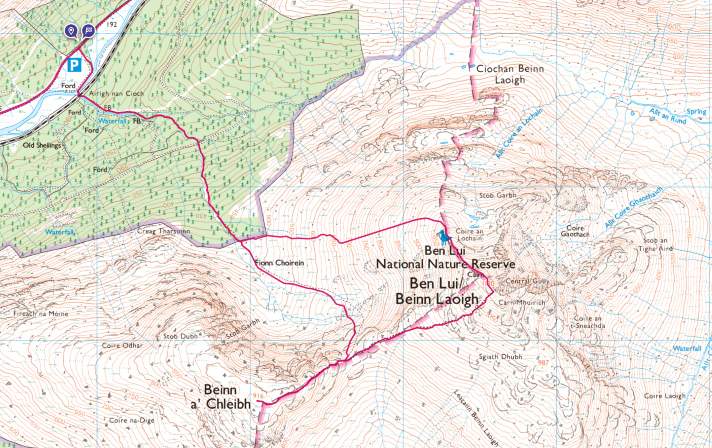
- Route Map
TLDR
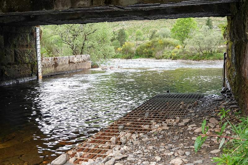
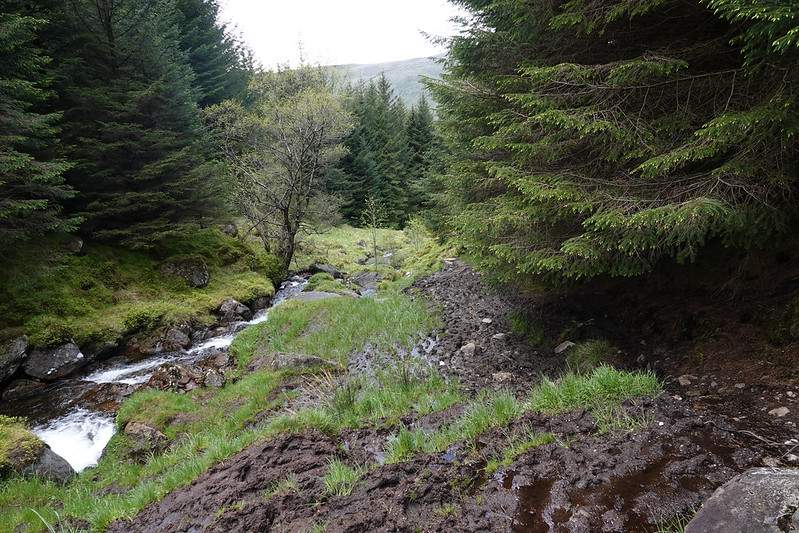
You have to wade through a ford that crosses the river Lochy. Now you may think to yourself that it’s wise to take off your boots and socks before crossing and maybe it is – but you’re no sooner over the ford and you have to cross another stream. While it’s possible to not get your boots wet here – the chances of that are like nil.
To top it off there is at least 1 Km of solid boggy paths. I’m not just talking about an occasional spot – it’s continual and it’s very deep in places. So I’d not bother taking them off. Take the hit of getting them wet right from the get go – it’s going to happen either way.
TOP TIP: Seal Skin socks. At the end of my hike my socks on the inside were still reasonable dry. All moisture on the inside was likely to be my sweat and not water. My Scarpa boots did a good job of holding out the water on the initial crossing, but not so much on the way back due to the fact they were already muddy and soaking. It felt like absorbed a fair bit more. Not that it mattered by that point. If anything it was a good thing! The boots got a clean.
The start
As the TLDR section shows the start is a wet start, but get over the ford, follow the path and before you know it you’re faced with this –
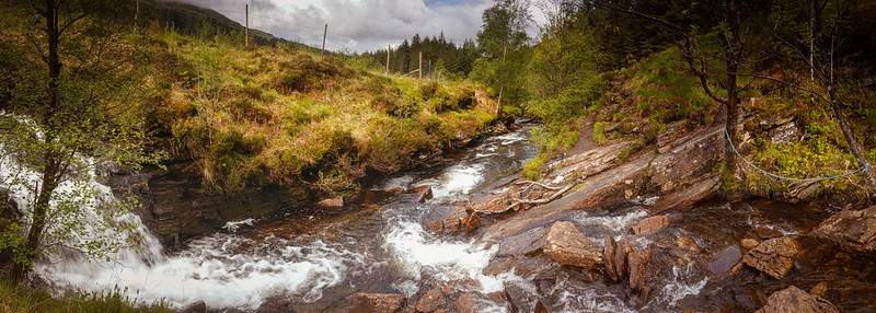
Some kind person has left some rope tied to a couple of trees to help, and you’ll come at this from the direction the photo is looking at. The water level was low, so not hard to cross, and it’s almost possible to get across without getting your boots wet – almost.
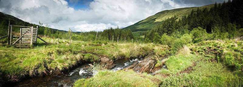
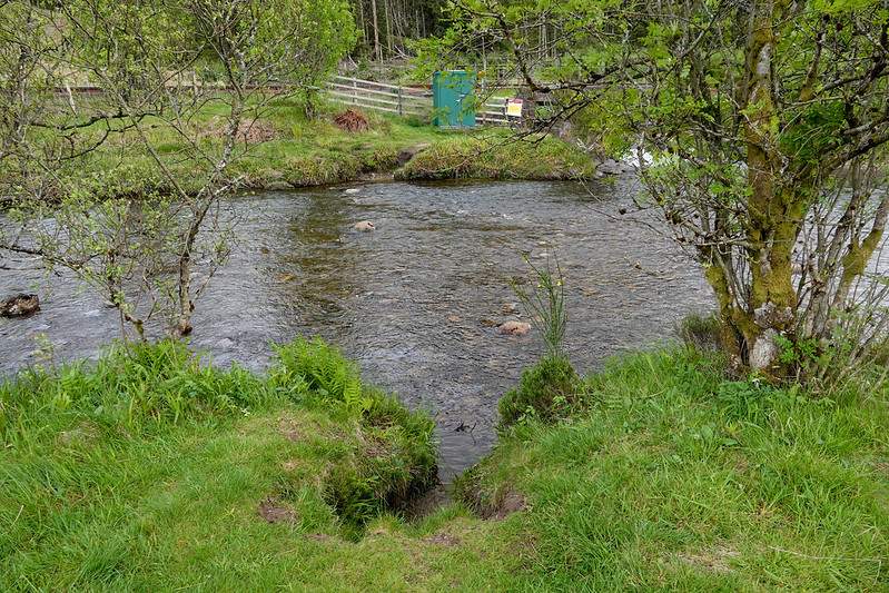
Shortly after this point there is a gate on the other side of the burn. Do not cross over – there is no need to. There is a path in a vague sense on the left hand side of the burn as you go up. Keep following the water and eventually you will reach a forestry road and bridge. No need to cross that bridge either. You’ll see that a cairn marks the way up.
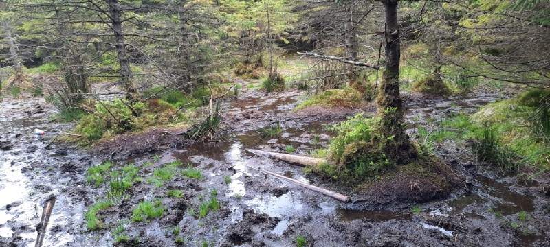
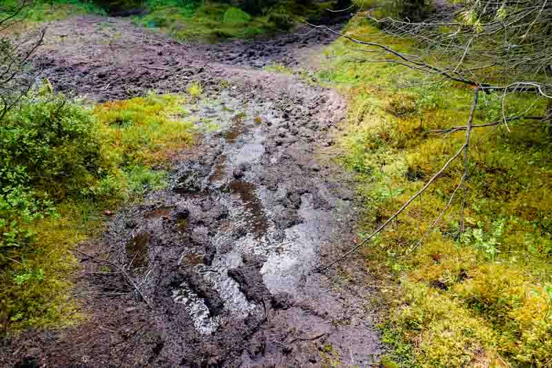
BOG BOG BOG and some more BOG!
From here until you exit the forest the path is a bog. If you stick the path there is no avoiding it – impossible! It’s the boggiest hill I’ve done by a long shot. Swamp like in places.
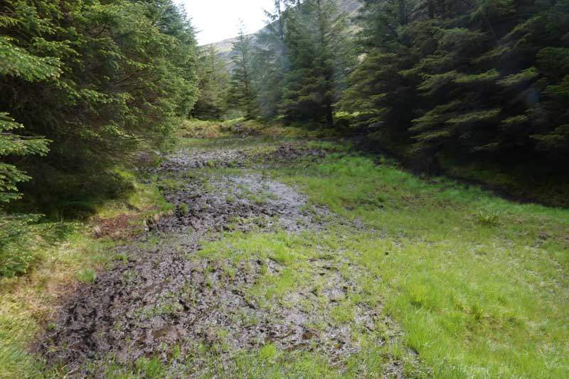
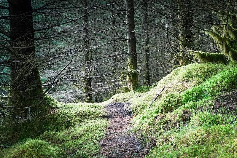
To avoid it, head into the trees. You’ll find that many others have done so and it’s worth a few cobwebs in the face to avoid so much mud, plus it’s quite a nice change to walk through the trees.
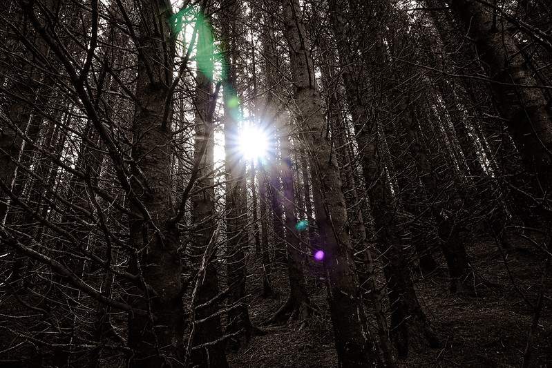
Trees are good
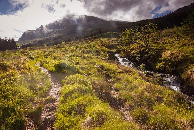
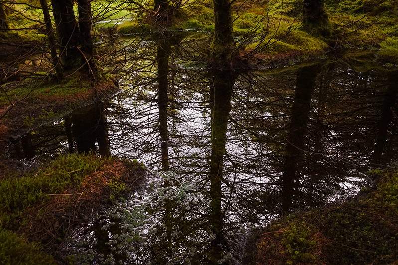
Not to much to say here that the photos don’t show. Just head up in straight(ish) direction and you’ll be fine. You can hear the water from stream as it’s so close. So if you do lose sight of it, then you know you’re still close due to it’s noise.
Into the Open
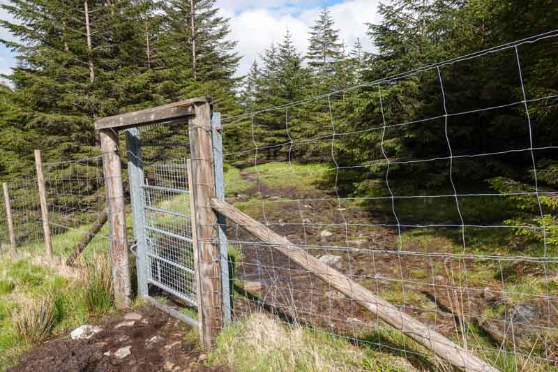
Only one exit point out of the trees (so you must come back in this way as well). Now it’s up to you which summit to do first.
I choose to do Beinn a’ Chlèibh first, for a couple of reasons. Firstly Ben Lui’s summit was covered by clouds and Chlèibh wasn’t! Also from the map beforehand I thought the route down from Lui seemed simpler (less steep) than the descent from the ridge going up to Chlèibh. So thinking about my knees I choose to come down from Lui. I was partially wrong in this. Not that it mattered too much in the end.
No issues now
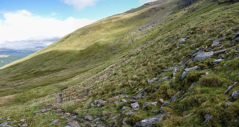
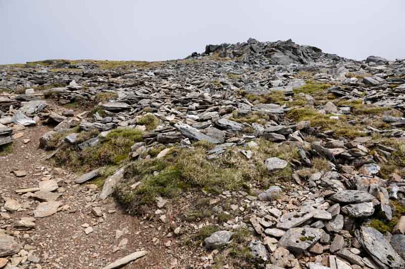
The route from here is simple, follow the stream to the mid point between the two summits. Right at the point the stream no longer exists is when the ground gets a little bit steeper and then a path appears as people obviously then take the same route up/down from this point. It may look steep on the map, but it really isn’t. As you are hitting it at an angle you gradually gain altitude, rather than going straight up.
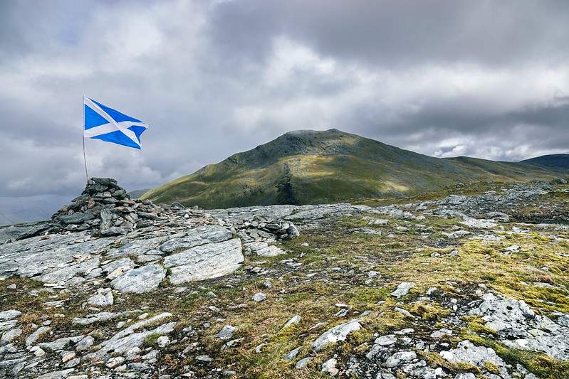
By now the ground has firmed up (thankfully). A few zig zags later and summit number one is completed. It’s a wide open summit with a good sized cairn on the top.
Ben Lui
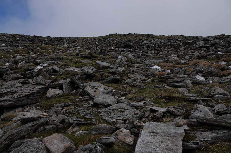
head back down to around 775 m and then straight up to Ben Lui (1130 m). The ground is still firm and from around 950 m and up it does becomes rocky and a bit more course underfoot. The rocks/stones are all fairly small and for most of the way the path is very clear.
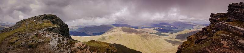
Once on the summit the views are outstanding. Clearly see Ben Cruachan on one side and Ben More on the other, not to mention the much closer hills of Ben Oss and Beinn Dubhchraig. With the aid of my camera the Strath of Orchy with Kilchurn Castle was also visible and looking very lush at this time of year. (many more photo’s in my flickr album)
Tricky part
While most of the way down from Ben Lui is a pathless gradual descent, the initial portion from the summit and down say 100 m can be a little tricky. If the weather was really poor and visibility was very bad then you’ve the issue of the path being very close (right next to) a very large drop. So if the wind was to push you sideways – well… Also there was a few spots where you had to climb down.
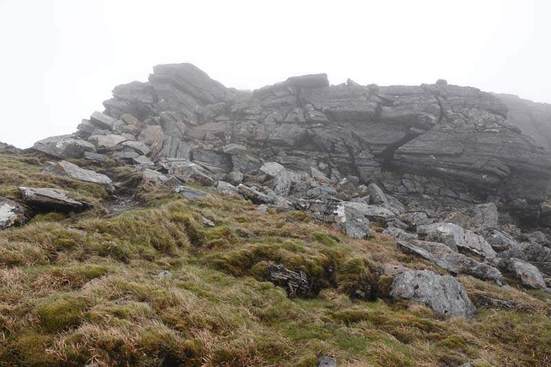
On the left is a sheer drop and coming down from here could prove tricky for some. So be aware it’s not just a walk down. But get passed this point and it’s all good once more.
If you don’t think this is for you then you can come down the way you went up via the path between both Lui and Chlèibh.
All that’s left of to head back to the gate that leads to the forest and then it’s the short distance back to the car park.
Route Map